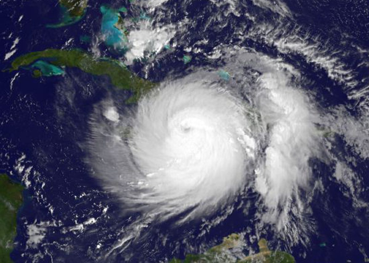
It looks like Long Island could be spared from Hurricane Matthew’s wrath.
The massive hurricane, which is embarking on dangerous path toward the Bahamas and the south eastern coast of the US, is projected to make an eastward jog into the Atlantic Ocean early next week, sparing Long Island from the storm’s destructive force.
Brian Ciemnecki, a meteorologist for the National Weather Service in Upton, told the Press that the current track has Matthew veering east after passing through the Carolinas. It’s also unlikely that Long Island would experience any residual impact from the powerful hurricane, Ciemnecki said.
“At this time it seems unlikely” LI would receive any rain, Ciemnecki said. “While it seems unlikely at this time the forecast can still change and there’s still maybe some uncertainty to this.”
Matthew is currently churning north, north-west at 10 mph and carrying maximum sustained winds of 115 mph, according to the National Hurricane Center.
While Long Island could breathe a sight of relief—for now—coastal neighborhoods in Florida and the Carolinas are bracing for significant damage.
The latest track and watch/warning product from NHC issued at 5 AM. pic.twitter.com/htXbTVo2XC
— NWS New York NY (@NWSNewYorkNY) October 5, 2016
There have been reports of residents flooding supermarkets for the usual goods in case of prolonged outages, and drivers flocking to gas stations, spawning long lines.
State of emergencies have been declared in Florida, Georgia and North and South Carolina.
Matthew has already been blamed for at least 11 deaths in the Caribbean.
Relief agencies have been particularly concerned about the situation in Haiti, which is still recovering from the devastating earthquake that rocked the country in 2010 and left as many as 55,000 people in shelters, according to the United Nations. The earthquake killed an estimated 200,000 people.
After Matthew ripped through the vulnerable Caribbean nation Tuesday, cutting off major arteries and decimating communication systems, relief agencies reported facing obstacles in their attempts to reach those devastated by the storm.
The National Hurricane Center warned that Matthew could strengthen as it cuts through the Bahamas on its way to the Florida coast. The agency said tropical storm or hurricane conditions could impact Georgia, South Carolina and North Carolina later this week or by the weekend.
#Matthew made its 2nd landfall of Category 4 strength today at 8pm EDT, this time near Juaco, Cuba. Latest forecast: https://t.co/tW4KeGdBFb pic.twitter.com/xIz5WPxquY
— NHC Atlantic Ops (@NHC_Atlantic) October 5, 2016
Although Long Island is not in danger of receiving a serious blow from Matthew, the region is in desperate need of rainfall.
From June to September, the amount of rainfall on Long Island came in at 7 inches below normal, according to the National Weather Service.
So, bring on some rain—but keep the hurricanes away.
Downtown #Nassau #Bahamas is ghostly, deserted, and boarded up. They’re ready for #Hurricane #MATTHEW. pic.twitter.com/Us7BZzbOqM
— Josh Morgerman (@iCyclone) October 5, 2016
.@Space_Station cameras continue to watch Hurricane Matthew from 250 miles above. Below view is from 5pm ET today: https://t.co/MqBWcYb8PN pic.twitter.com/q88D8GJS7W
— NASA (@NASA) October 4, 2016


