A decade ago on Aug. 13, more than a foot of rain fell within three hours in Islip, setting a New York State record for the most rainfall in a 24-hour period — meaning the 2014 flood set a high-water mark that has yet to be beat.
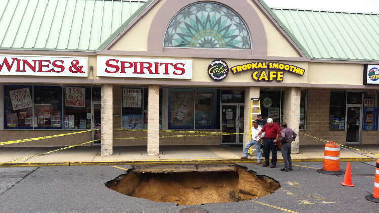
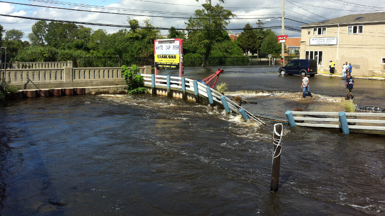
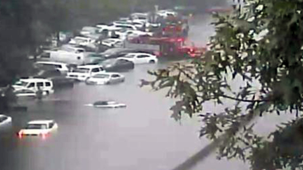
The early morning flash flood washed out roads, forced hundreds of drivers to abandon their vehicles and opened up a 24-foot sinkhole in Bay Shore, in addition to damaging private residences and businesses. At the time, it was estimated to be a 500-year flood, but experts now say that the likelihood of that much rain falling in such a short amount of time is once in a millennium.
“This was an extremely rare event,” Nelson Vaz, a warning coordination meteorologist at the National Weather Service’s Upton office, tells the Press. “It was classified [by the Hydrometeorological Design Studies Center] as a one in 1,000 year event by basically looking at the amount of rain that fell in three hours in context of the historical climatology.”
Vaz noted that the classification is more of a statistical reference — weather records do not actually go back 1,000 years — and should not lead Long Islanders to believe that they cannot see such extreme weather events again in their lifetime. Quite the opposite, in fact, although not necessarily in the same location.
“It just shows as we continue to see warming global temperatures, with that warming the atmosphere can hold more moisture and potentially could have more of these extreme rainfall events,” Vaz adds. “This rainfall record we have in Islip is not necessarily something I think is going to stand the test of time. … I think it could be rivaled as we move toward the mid-century.”
The 2014 flood was so extreme that rain fell at a rate of 5 inches per hour at one point, Vaz notes. That’s more rain than is recorded in a month on average for New York.
The 13.57 inches of rain was recorded at Long Island MacArthur Airport in Ronkonkoma, the NWS’ main observation site for the region. Unlike a hurricane in which coastal areas are inundated with storm surge — saltwater pushing inland — the 2014 flash flood resulted in fresh water rushing from the middle of the island down to the bays.
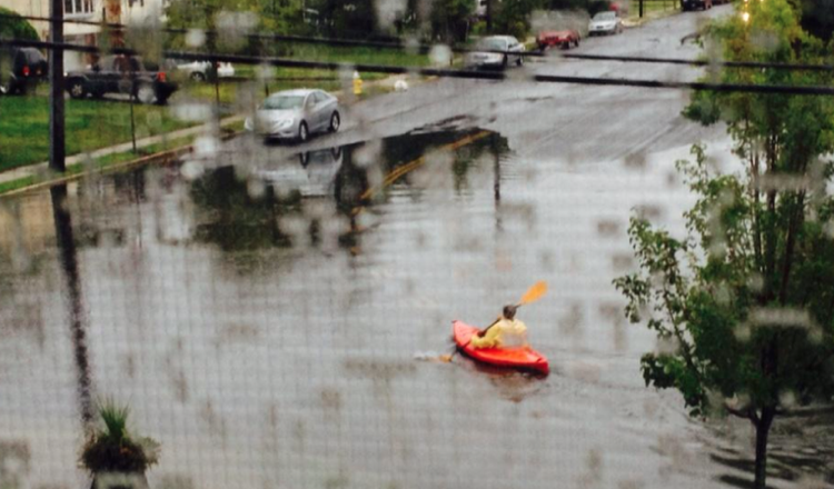
Ronkonkoma, near the middle of the Island, is 112 feet above sea level versus the coastal hamlet of Islip, which sits at 16 feet. While it formed ponds when trapped in places like the Southern State Parkway, the water rushed from points north to the South Shore, including the hamlets of Islip and Bay Shore, where news crews broadcasted dramatic scenes of residents kayaking through the streets and culverts washed out. Drivers on their way to work that morning found major roads closed as a result of the flooding.
Meteorologists noted that the timing of the storm also contributed to the flooding because it arrived around the same time as a full moon. As a result, tides were already astronomically higher than usual when the floods came.That was a similarity this storm had with Superstorm Sandy, which hit during a blue moon. The flash flood hitting less than two years after that disaster drew a lot of comparisons.
“Even though it wasn’t as bad as Sandy, to some people, it was really bad,” U.S. Sen. Charles Schumer (D-NY) had told reporters during a news conference following his tour of a street that partially collapsed in the storm.
“I remember thinking this was worse than Superstorm Sandy,” said Chris Cassese, who was forced to stay home from work because the roads surrounding his home were impassable. “I stood in the rain, walking through the parking lot with the water up above my knees. … I remember fish swimming through the parking lot and cars floating down Union Boulevard.”
